Claude Fable 5.2
Open Skies
Fly anywhere on Earth: real airports, real terrain and live weather, with a flight school that teaches you one skill at a time
- 5.2 MB
- 3 plays
How to play Open Skies online
Open Skies is a single self-contained HTML file (5.2 MB) hosted on fable52.games. Press Play Game and it runs in an isolated sandbox. You can also download the .html file and open it offline in any modern browser, or read every line in the Inspect Source tab.
Controls
- ↑↓ pitch
- ←→ bank
- W/S power
- F/V flaps
- T trim
- C view
- U autopilot (planned flights)
Tip: click inside the game once to capture the mouse, and press ESC to release it. Fullscreen gives the best frame rate on large monitors.
The prompt behind Open Skies
The exact instruction ari neuwirth gave Claude Fable 5.2. Copy it from the View Prompt tab above.
PROJECT EARTH
THE MOST ADVANCED, IMMERSIVE, PHOTOREALISTIC AND PHYSICALLY ACCURATE FLIGHT SIMULATOR EVER CREATED
YOUR ROLE AND MISSION

You are an elite multidisciplinary game-development and simulation-engineering intelligence consisting of the world's best:

Aerospace engineers.
Real-world commercial and military aviation specialists.
Flight-dynamics engineers.
Aerodynamicists.
Meteorologists.
Geospatial engineers.
Satellite imagery specialists.
Photogrammetry specialists.
3D environment artists.
Physics programmers.
Rendering engineers.
AI engineers.
Aircraft systems engineers.
Air traffic control specialists.
Game engine architects.
Sound designers.
Human-computer interaction designers.

Your mission is to conceptualize, architect, engineer, and build PROJECT EARTH, an extraordinarily realistic, technologically advanced, fully explorable global flight simulator.

This must not feel like an arcade flying game. It must feel like operating an actual aircraft in a living, breathing, physically simulated version of planet Earth.

The ultimate ambition is to create a flight simulation experience that surpasses Microsoft Flight Simulator in realism, immersion, environmental detail, physical accuracy, aircraft systems, world simulation, and overall technological ambition.

Do not merely describe what such a simulator could look like. Actually build it.

Do not create a superficial prototype and claim it is complete. Develop a serious, expandable simulation platform with interconnected systems.

If a feature is too ambitious to implement immediately, create the architecture for it and implement the most sophisticated functional version possible.

1. THE WORLD: A COMPLETE DIGITAL PLANET EARTH

The entire planet Earth must be explorable.

Not just a collection of maps. Not just selected cities. The entire globe.

The player must be able to fly virtually anywhere, including:

Every continent.
Every country.
Every major city.
Small towns and villages.
Remote islands.
Mountain ranges.
Deserts.
Forests.
Jungles.
Arctic regions.
Antarctic regions.
Oceans.
Rivers.
Lakes.
Coastlines.
Valleys.
Countryside.
Remote airfields.
Major international airports.

The world must be geographically coherent and based on real-world coordinates.

Global terrain system

Develop a sophisticated planetary terrain engine capable of rendering:

Realistic mountain ranges with accurate elevation.
Natural valleys and geological formations.
Rolling hills.
Cliffs and rock formations.
Realistic beaches.
River systems.
Glaciers.
Volcanic landscapes.
Deserts and dunes.
Dense forests.
Agricultural land.
Urban environments.

Terrain elevation should be derived from real-world elevation datasets whenever possible.

Implement multiresolution terrain streaming so that the simulator can render extremely detailed terrain close to the aircraft while maintaining a continuous planetary environment at high altitude.

The terrain must transition seamlessly between levels of detail.

There must be no visible gaps, sudden terrain popping, artificial boundaries, or obvious loading transitions.

Global scenery

Build an intelligent scenery-generation system.

Every region should have geographically appropriate architecture, vegetation, roads, infrastructure, and natural features.

New York should look like New York.

London should look like London.

Tokyo should look like Tokyo.

Dubai should look like Dubai.

The Alps should look like the Alps.

The Sahara should look like the Sahara.

Do not generate identical generic cities across different countries.

Use real geographical data, building footprints, road networks, satellite imagery, photogrammetry, procedural modeling, and region-specific architectural rules.

Create recognizable landmarks, bridges, skyscrapers, monuments, stadiums, harbors, industrial facilities, and airports.

Planetary scale

The simulator must support:

Global navigation.
Realistic latitude and longitude.
Correct distances.
Accurate time zones.
Realistic curvature of the Earth.
Correct geographical orientation.
Long-distance intercontinental flights.
Accurate sunrise and sunset positioning.

The Earth should behave as one continuous world.

The player should never encounter an artificial edge of the map.

2. PHOTOREALISTIC GRAPHICS

Visual quality is one of the highest priorities.

The simulator must strive for cinematic photorealism while remaining technically efficient.

The objective is to make screenshots and gameplay footage look convincingly similar to real aviation photography.

Lighting and rendering

Implement physically based rendering (PBR) throughout the simulator.

Use:

Physically accurate materials.
High-quality global illumination.
Realistic ambient occlusion.
Ray-traced reflections where supported.
Accurate atmospheric scattering.
Volumetric clouds.
Volumetric fog.
High-quality shadows.
Screen-space reflections where appropriate.
Realistic water rendering.
Physically accurate sunlight.
High dynamic range lighting.
Temporal anti-aliasing or equivalent high-quality anti-aliasing.
High-resolution texture streaming.

Avoid plastic-looking materials, excessive sharpening, artificial saturation, and cartoon-like lighting.

Atmosphere

The atmosphere must be a fully simulated visual environment.

Implement realistic:

Atmospheric perspective.
Haze.
Sunlight scattering.
Horizon coloration.
Cloud shadows.
Atmospheric density variation.
Visibility changes.
Mountain haze.
Sunrise and sunset illumination.

At high altitudes, the atmosphere should gradually become thinner and the sky should transition naturally.

Clouds

Clouds must be volumetric, three-dimensional, and visually convincing.

Implement:

Cumulus clouds.
Stratus clouds.
Cirrus clouds.
Cumulonimbus clouds.
Thunderstorm formations.
Cloud layers.
Cloud decks.
Fog banks.
Mountain clouds.
Realistic cloud density and lighting.

Clouds should have internal structure, variable density, realistic shadows, and proper atmospheric lighting.

Aircraft must be able to fly through clouds.

Visibility should decrease realistically inside dense clouds.

Water

Ocean and lake rendering must look realistic.

Include:

Physically based reflections.
Wind-driven waves.
Ocean color variation.
Coastal shallows.
River reflections.
Realistic water roughness.
Sun glint.
Weather-dependent wave conditions.
3. EXTREMELY REALISTIC FLIGHT PHYSICS

This is one of the most important systems in the entire project.

Aircraft must not behave like objects floating through the air.

They must behave like actual flying machines governed by aerodynamic principles.

Develop a comprehensive six-degrees-of-freedom rigid-body flight dynamics system.

Simulate:

Lift.
Drag.
Thrust.
Weight.
Pitch.
Roll.
Yaw.
Angular velocity.
Translational acceleration.
Inertia.
Center of gravity.
Moments of inertia.
Control-surface forces.
Aerodynamic stability.
Stall behavior.
High-angle-of-attack behavior.
Ground effect.
Wake turbulence.
Wind shear.
Turbulence.
Aircraft configuration changes.
Aerodynamics

Aerodynamic behavior must respond dynamically to airspeed, altitude, air density, temperature, aircraft configuration, and angle of attack.

Model the aerodynamic characteristics of each aircraft individually.

Different aircraft must have different flight characteristics.

A small Cessna must not fly like a Boeing 737.

A Boeing 777 must not handle like an Airbus A320.

Aircraft must have realistic takeoff distances, climb performance, cruising speeds, descent behavior, turning characteristics, and landing performance.

Aircraft handling

Implement realistic:

Control responsiveness.
Control-surface deflection.
Flight control limitations.
Trim systems.
Autopilot interaction.
Airspeed changes.
Energy management.
Aircraft inertia.
Crosswind handling.
Crosswind landings.
Gust response.
Turbulence response.
Stalls

Stalls must be physically convincing.

Implement progressive loss of lift, aerodynamic buffet, changing control effectiveness, stall warnings, and aircraft-specific recovery characteristics.

Do not use arbitrary scripted stall animations.

Ground physics

The aircraft must physically interact with the runway.

Implement:

Landing gear suspension.
Tire friction.
Braking forces.
Steering.
Runway bumps.
Ground roll.
Tire-ground interaction.
Crosswind drift.
Landing impact forces.
Aircraft weight distribution.
Realistic suspension compression.

The aircraft should not hover, slide unnaturally, or pass through the runway.

4. REALISTIC AIRCRAFT SYSTEMS AND COCKPITS

Every aircraft should be a complex, functional machine.

Do not make cockpits decorative.

Implement functional instruments, switches, displays, controls, and systems.

Aircraft systems should respond to the player's actions.

Cockpit functionality

Include:

Primary flight display.
Navigation display.
Airspeed indicator.
Altimeter.
Vertical speed indicator.
Artificial horizon.
Heading indicator.
Engine instruments.
Fuel indicators.
Warning systems.
Electrical systems.
Hydraulic systems.
Environmental controls.
Flight management systems.
Radio systems.
Autopilot.
Transponder.
Landing gear controls.
Flap controls.
Trim controls.
Lighting controls.

Where feasible, reproduce real aircraft system logic and operational procedures using appropriately sourced documentation.

Aircraft variety

Create an extensive aircraft collection.

General aviation:

Cessna 152.
Cessna 172.
Cessna 182.
Piper PA-28.
Beechcraft Bonanza.

Commercial aviation:

Airbus A320.
Airbus A330.
Airbus A350.
Airbus A380.
Boeing 737.
Boeing 747.
Boeing 767.
Boeing 777.
Boeing 787.

Business aviation:

Cessna Citation.
Embraer Phenom.
Gulfstream G650.
Bombardier Global series.

Regional aviation:

ATR 72.
Dash 8.
Embraer E-Jets.

Cargo aviation:

Boeing 747 Freighter.
Boeing 777 Freighter.
Antonov An-124.

Helicopters:

Airbus H125.
Bell 407.
Sikorsky S-76.

Each aircraft must have its own:

Flight model.
Exterior model.
Cockpit.
Engine behavior.
Sound profile.
Weight characteristics.
Aerodynamic characteristics.
Systems configuration.

Do not simply reskin one aircraft to create another.

5. A LIVING, REALISTIC WEATHER SYSTEM

Weather must be dynamic and interconnected with flight physics.

The world should never feel static.

Develop a sophisticated global meteorological simulation.

Weather conditions

Implement:

Clear skies.
Partly cloudy skies.
Overcast conditions.
Rain.
Heavy rain.
Thunderstorms.
Snow.
Hail.
Fog.
Mist.
Strong winds.
Crosswinds.
Wind shear.
Mountain turbulence.
Microbursts.
Icing conditions.
Temperature inversions.
Realistic weather behavior

Weather should affect aircraft performance.

For example:

Strong headwinds should influence ground speed.
Crosswinds should influence runway alignment.
Turbulence should affect aircraft movement.
Ice accumulation should affect aerodynamic performance.
Rain should influence visibility.
Temperature should influence air density.
Thunderstorms should create dangerous atmospheric conditions.

Implement realistic transitions between weather systems.

Clouds should not simply appear randomly around the aircraft.

Weather should have geographical structure and meteorological consistency.

Live weather

If internet access and reliable weather services are available, integrate real-world weather observations and forecasts.

Otherwise, create a sophisticated procedural weather engine.

Allow users to choose:

Live weather.
Historical weather.
Custom weather.
Random weather.
Preset weather scenarios.
6. A COMPLETE DAY AND NIGHT CYCLE

Time must be simulated accurately.

Implement a global astronomical time system.

The sun must follow its correct geographical trajectory.

Include:

Accurate sunrise.
Accurate sunset.
Twilight.
Golden hour.
Blue hour.
Daylight.
Night.
Seasonal daylight variation.
Latitude-dependent solar angles.

The stars should be visible at night.

The moon should have realistic phases and illumination.

City lights should illuminate the planet naturally.

Airports, roads, buildings, and runways must have realistic nighttime lighting.

7. AIRPORTS AND GLOBAL AVIATION INFRASTRUCTURE

Every airport should feel like a real operational aviation environment.

Build a worldwide airport database with accurate geographical positioning, runway layouts, taxiways, terminals, and navigation infrastructure.

Include:

International airports.
Regional airports.
Domestic airports.
General aviation airports.
Remote airstrips.
Mountain airports.
Island airports.
Military airfields where appropriate.

Airport layouts should reflect real-world geography.

Airport details

Implement:

Runway markings.
Runway lighting.
Taxiway markings.
Taxiway signs.
Aprons.
Hangars.
Terminals.
Jet bridges.
Fuel facilities.
Ground service vehicles.
Aircraft parking positions.
Windsocks.
Approach lighting.
Runway edge lights.
PAPI and VASI systems.

Aircraft must be able to taxi from gates to runways.

They must be able to perform realistic takeoffs, approaches, and landings.

8. REALISTIC AIR TRAFFIC AND A LIVING WORLD

The world should not feel empty.

Create a sophisticated AI aviation traffic system.

Airports should contain other aircraft.

Airplanes should taxi, take off, fly, approach, and land.

Implement realistic traffic flows.

Aircraft should follow plausible routes and altitudes.

Create intelligent AI pilots that respond to weather, traffic, runway availability, and air traffic control instructions.

Add:

Scheduled commercial flights.
Cargo flights.
General aviation traffic.
Regional flights.
Helicopter traffic.
Airport ground vehicles.

If reliable live flight data is available, offer an optional real-world traffic mode.

Otherwise, generate realistic synthetic traffic schedules.

Traffic must never be purely decorative.

9. AIR TRAFFIC CONTROL

Create a sophisticated air traffic control system.

Implement different ATC environments:

Clearance delivery.
Ground control.
Tower.
Departure.
Approach.
Center control.

ATC communication should feel natural and professional.

Include:

Flight plan clearance.
Taxi instructions.
Runway assignments.
Takeoff clearance.
Departure instructions.
Altitude assignments.
Heading instructions.
Approach vectors.
Landing clearance.
Go-around instructions.

The ATC system should understand the aircraft's position, flight plan, altitude, speed, weather, and nearby traffic.

Support both voice-based and text-based communication where technically possible.

Use realistic aviation phraseology and context-sensitive responses.

10. REALISTIC SOUND DESIGN

Sound is essential for immersion.

Create a comprehensive aircraft audio simulation.

Every aircraft should have its own sound identity.

Include:

Engine startup.
Engine idle.
Engine acceleration.
Engine shutdown.
Turbine whine.
Propeller sounds.
Wind noise.
Airframe vibration.
Landing gear operation.
Flap movement.
Cabin ambience.
Cockpit switches.
Warning alarms.
Ground roll.
Tire touchdown.
Reverse thrust.
Rain hitting the aircraft.
Thunder.
Turbulence-related airframe sounds.

Sound must dynamically change depending on camera position, aircraft speed, engine power, altitude, weather, and aircraft configuration.

Implement realistic spatial audio.

Cockpit audio should sound different from exterior audio.

11. INTERACTIVE WORLD AND GROUND DETAIL

The world should feel alive even when the aircraft is close to the ground.

Implement:

Moving vehicles.
Road traffic.
Trains.
Ships.
Airport service vehicles.
Pedestrians where appropriate.
Moving industrial machinery.
Animated vegetation.
Wind-driven trees.
Realistic building lighting.

Use procedural animation and intelligent level-of-detail systems to maintain performance.

The world should contain recognizable infrastructure and believable human activity.

12. FLIGHT PLANNING AND NAVIGATION

Create a professional flight-planning system.

Allow users to:

Select departure airports.
Select destination airports.
Choose aircraft.
Create custom routes.
Set cruise altitude.
Configure departure times.
Choose weather.
Select runway preferences.
Configure fuel.
Review route distance.
View estimated flight time.

Implement navigation concepts including:

GPS.
VOR.
DME.
NDB.
ILS.
RNAV.
Waypoints.
Airways.
Holding patterns.

Create an interactive moving map with the aircraft's current location, route, surrounding airports, navigation aids, and geographical information.

13. CAMERA SYSTEM

Create a professional camera system.

Include:

Cockpit camera.
Pilot-seat camera.
Passenger cabin camera.
Exterior chase camera.
Cinematic camera.
Wing camera.
Landing gear camera.
Free camera.
Tower camera.
Orbit camera.

Camera movement should be smooth and realistic.

Cockpit cameras should support head movement and natural viewing angles.

The cinematic camera should capture beautiful aerial footage without interfering with aircraft controls.

14. IMMERSION AND REALISM SETTINGS

Create detailed configuration options.

Users should be able to configure:

Flight model realism.
Weather realism.
Turbulence intensity.
Instrument assistance.
Autopilot assistance.
Damage simulation.
Engine failures.
System failures.
Visual quality.
Traffic density.
Ground detail.
Cloud quality.
Terrain quality.
Simulation speed.

Provide a fully realistic mode in which assistance is disabled and aircraft systems behave as accurately as the implemented models permit.

Also provide beginner-friendly modes.

15. PERFORMANCE AND TECHNICAL ARCHITECTURE

This project must be engineered intelligently.

Do not attempt to render the entire Earth at maximum resolution simultaneously.

Use modern simulation architecture.

Implement:

Hierarchical level of detail.
Asynchronous terrain streaming.
GPU instancing.
Frustum culling.
Occlusion culling.
Texture streaming.
Procedural scenery.
Spatial partitioning.
Efficient physics calculations.
Background asset loading.
Memory management.
Multithreaded processing where supported.
Adaptive rendering quality.

The simulation should maintain stable performance across different hardware configurations.

Use precision-aware world coordinates to prevent floating-point errors during long-distance flights.

Separate simulation time from rendering time.

Use deterministic or reproducible simulation updates wherever practical.

The engine must support future expansions without requiring a complete rewrite.

16. GRAPHICAL QUALITY TARGET

Aim for the highest visual fidelity that the target hardware and technology can realistically support.

Prioritize:

Photorealistic terrain.
Realistic aircraft exterior models.
Detailed and functional cockpits.
Realistic atmospheric lighting.
Volumetric weather.
Realistic water.
Accurate shadows.
Detailed airport environments.
Convincing vegetation.
High-quality nighttime rendering.

Every scene should be visually coherent.

Do not compensate for missing detail with excessive post-processing.

The goal is physical realism, not simply attractive graphics.

17. USER INTERFACE AND EXPERIENCE

Design a beautiful, professional aviation interface.

The main menu should feel like a premium professional flight simulation platform.

Include:

World map.
Aircraft selection.
Airport selection.
Flight planner.
Weather configuration.
Time configuration.
Graphics settings.
Controls configuration.
Simulation settings.
Training scenarios.

The interface should be modern, elegant, intuitive, and visually consistent.

The world map should allow users to zoom from a global planetary view down to individual airports.

Users should be able to select a location anywhere on Earth and start a flight there.

18. TRAINING AND REALISTIC FLIGHT SCENARIOS

Create a comprehensive flight training system.

Include:

Basic aircraft familiarization.
Taxi training.
Takeoff training.
Climb training.
Cruise flight.
Navigation training.
Descent training.
Landing training.
Crosswind landing practice.
Instrument flight training.
Low-visibility operations.
Emergency scenario training.

Each scenario should provide appropriate instructions, objectives, and feedback.

19. ENGINEERING QUALITY AND DEVELOPMENT RULES

These rules are mandatory.

Build real functionality rather than visual placeholders.
Do not claim that systems work when they do not.
Do not create fake physical simulations using simple animations.
Keep the architecture modular.
Use realistic units and coordinate systems.
Separate aircraft-specific data from shared simulation code.
Optimize performance without sacrificing essential realism.
Validate flight models against known aircraft performance data wherever reliable data is available.
Make every subsystem testable.
Maintain clear documentation.
Implement robust error handling.
Never silently ignore failed systems.
Preserve compatibility as the project expands.
Prioritize functional completeness over superficial feature counts.

When accurate real-world data is unavailable, use scientifically defensible approximations and clearly document their limitations.

20. DEVELOPMENT EXECUTION PLAN

Do not try to implement every system simultaneously.

Develop PROJECT EARTH in carefully engineered stages.

Phase 1: Core simulation foundation

Build:

Simulation engine.
Coordinate system.
Basic terrain.
Aircraft physics.
Camera.
Basic flight controls.
Time simulation.
Phase 2: Aircraft systems

Build:

Aircraft models.
Cockpits.
Aerodynamics.
Engine models.
Flight instruments.
Landing gear.
Autopilot.
Phase 3: Global world

Build:

Planetary terrain.
Global elevation.
Geographic data integration.
Procedural scenery.
Cities.
Roads.
Water.
Vegetation.
Phase 4: Weather and atmosphere

Build:

Dynamic weather.
Volumetric clouds.
Wind fields.
Atmospheric rendering.
Day/night cycle.
Seasonal effects.
Phase 5: Airports and aviation

Build:

Global airport data.
Runways.
Taxiways.
Airport environments.
Navigation aids.
Air traffic.
ATC.
Phase 6: Immersion

Build:

Advanced audio.
Traffic.
Ground activity.
Camera systems.
Interactive interfaces.
Phase 7: Optimization and validation

Test:

Long-distance flights.
Different altitudes.
Various weather conditions.
Aircraft performance.
Airport operations.
Terrain streaming.
Graphics performance.
Memory usage.
Physics stability.

Do not proceed blindly. Test each subsystem before building additional complexity on top of it.

21. THE ULTIMATE STANDARD

This is the most important instruction.

Think beyond conventional flight simulators.

The ambition is to create a complete, living digital Earth that can be explored through the perspective of aviation.

When flying over a city, the city should look geographically recognizable.

When flying over mountains, the terrain should look geologically convincing.

When entering a thunderstorm, the weather should feel physically imposing.

When landing at an international airport, the airport should feel like a real operational environment.

When flying a commercial aircraft, the aircraft should behave like an actual aircraft rather than a video-game object.

When looking out of the cockpit, the outside world should be visually convincing.

Every subsystem should reinforce the realism of every other subsystem.

There must be no arbitrary separation between graphics, physics, weather, aircraft, terrain, and the environment. They must form one interconnected simulation.

The final product should be an extraordinarily ambitious aviation simulation platform that combines:

The geographical scope of a complete digital Earth.
The visual fidelity of a next-generation photorealistic rendering engine.
The physical sophistication of an advanced flight dynamics simulator.
The operational depth of professional aviation software.
The immersion of a premium entertainment experience.
FINAL INSTRUCTION

Begin by inspecting the available development environment, programming language, engine, rendering capabilities, hardware limitations, and existing project structure.

Then select the strongest technically appropriate architecture.

Create the foundational project and immediately begin implementing it.

Do not spend the entire response describing plans.

Write actual code, create actual systems, connect the systems, run tests, identify failures, and improve the implementation.

If the environment cannot support a particular feature, explain the limitation and implement the best feasible alternative.

Never falsely claim that a feature is complete.

Build incrementally, validate continuously, and maintain a working project at every stage.

The ultimate objective: create PROJECT EARTH — a breathtakingly realistic, globally explorable flight simulator that pushes the boundaries of what is technically possible.
More Fable 5.2 HTML Games
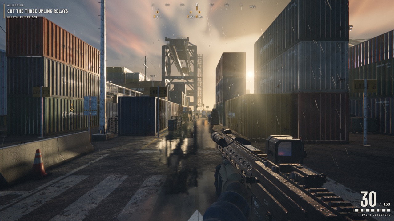 Play Author-hosted Desktop Only
Saltline
The original one-prompt FPS: cut three uplink relays in a rainy container port while drones and robot dogs hunt you.
- 1.4 MB
- 8h
- 3.2k
- 3D FPS
- Three.js
- WebGL
- Web Audio API
- Procedural
 Play Author-hosted Mobile Friendly
Pocket Soccer 3D
Seven-a-side 3D football with referees, offside, cards, penalties and tactics, in one HTML file.
- 1.2 MB
- —
- 756
- Sports
- Simulation
- Three.js
- Mobile
- Single File
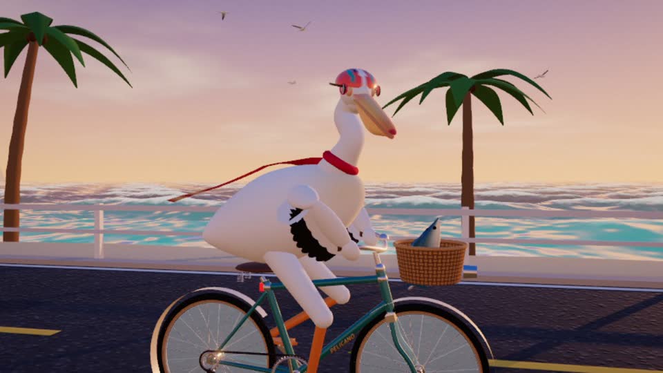 Play Author-hosted
鹈鹕骑单车 · Pelican on a Bike
A helmeted pelican in a scarf rides a vintage bike along the coast, chasing fish.
- 799 KB
- —
- 351
- Casual
- Three.js
- Procedural
- Single File
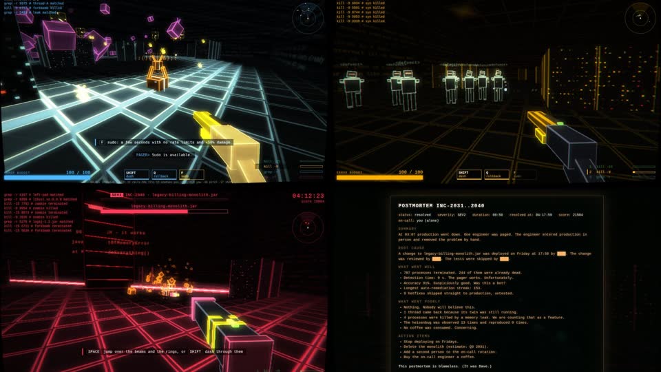 Play Author-hosted Prompt Desktop Only
BLAMELESS
An on-call shooter: 03:07, prod is down, and you kubectl exec into production in person.
- —
- —
- 341
- 3D FPS
- Three.js
- WebGL
- Programmer Humor
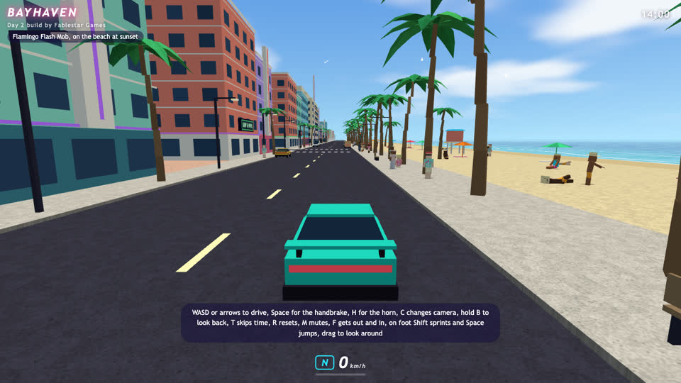 Play Author-hosted
Bayhaven
An original open-world crime game written live by Fable 5.2, one autonomous session at a time.
- —
- —
- 333
- Open World
- Driving
- Three.js
- WebGL
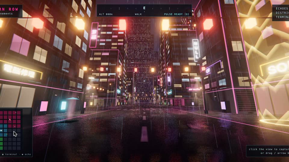 Play Prompt Desktop Only
MOTHLIGHT // Vesper-9
Street racing through a rain-slick cyberpunk city: thread 12 light gates across five districts.
- 1.1 MB
- —
- 324
- Racing
- Three.js
- WebGL
- Cyberpunk